Lowrance format, AT-5 Map, compatible with most Lowrance Fish Finder Combo units manufactured in the last 10 years. (Elite HDI, Elite Chirp, Elite Ti, Elite Ti2, HDS, Hook, Hook 2, Reveal, or 2024-Eagle).
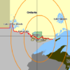
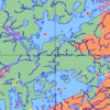
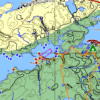
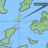
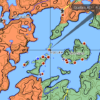
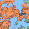
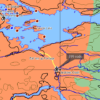
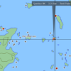
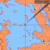
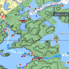
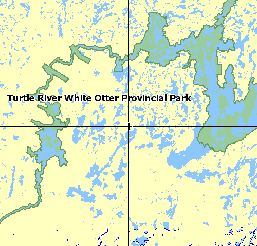
This Free vector based map consists of the following features for Quetico and the BWCAW:
-
-
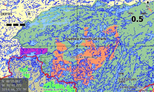
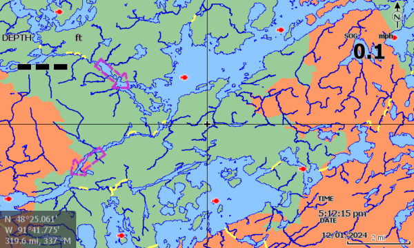
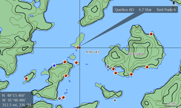
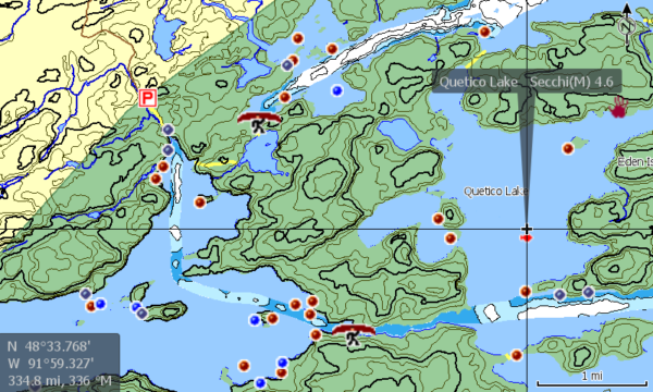
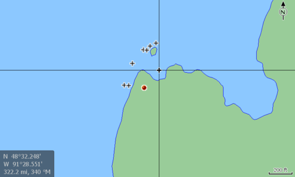
- Accurate Lake shape outlines with islands, rivers, streams and emergent rocks shown.
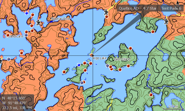
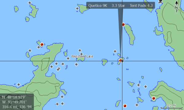
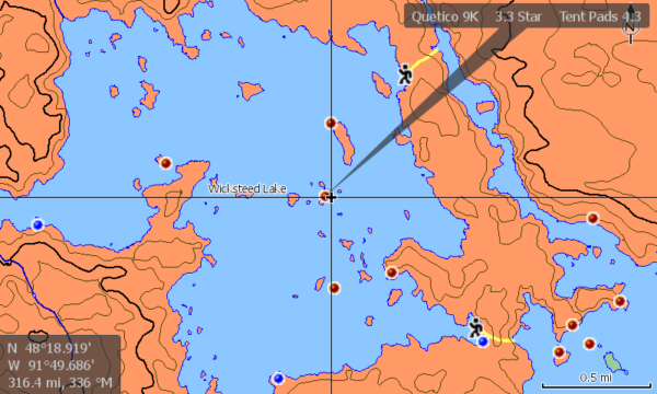
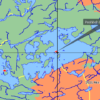
- Detailed Campsite and Portage information. 2
- Campsite ratings and tent pads displayed where available.
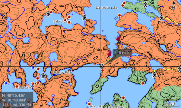
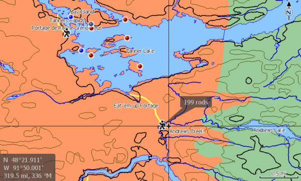
- Portages in Rods.
- Select Anishinaabe pictograph locations revealed.3
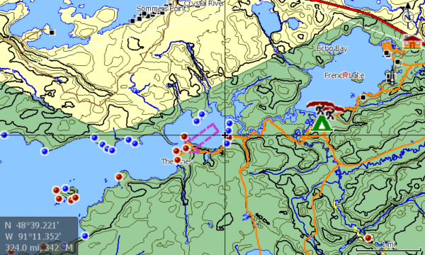
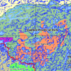
- Land contours ( 10M= Quetico, 30 Ft =BWCAW).
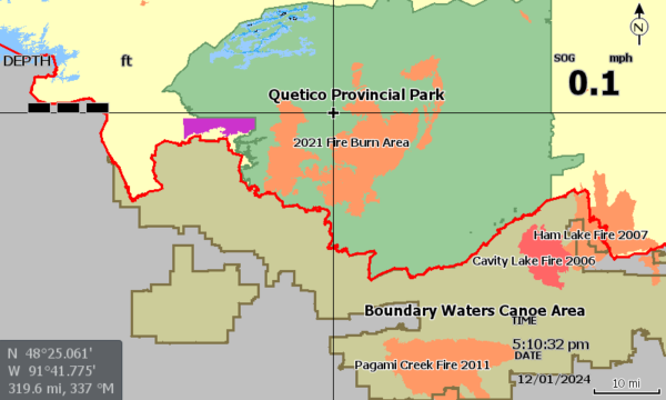
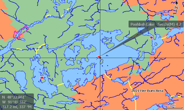
- Recent burn areas displayed.
- Entry Points for both areas, as well as permit stations and outfitter locations.
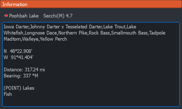
- Fish Species data for most lakes (Secchi water clarity data for select Quetico waters).
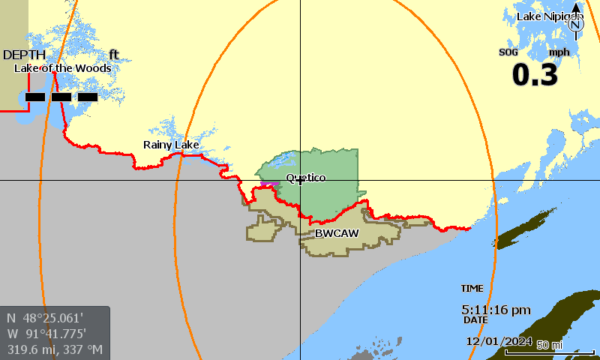
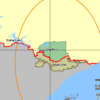
- Park and Area boundaries, as well as the International boundary clearly displayed.
- Select water flow directions in Quetico.
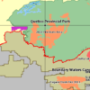
- BWCAW Primative Management Area coverage.
- Select Roads and trails displayed.
- First Nation Reserve – Gakijiwanong Anishinaabe Nation (Lac La Croix)
- Lake and area names for quick reference.
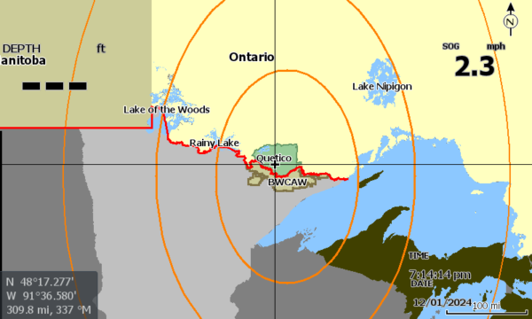
- Wide area reference points/features for orientation and navigation to the area of focus.
- All Data embedded into map layers, No waypoints used. Save your waypoints for marking your fish, discoveries or observations.
-
-
-
- Not affiliated with Lowrance or CMAP Genesis.
- Source: PaddlePlanner.com
- Source: Peter Albinger’s Ramblin’ Boy website.
- Contains information licensed under the Open Government License – Ontario, Ontario Ministry of Natural Resources and the Queen’s Printer.
- Contains data compiled from contributions made by the MNDNR, U.S. Geological Survey, MDNR Division of Fish & Wildlife – Fisheries Unit, National Interagency Fire Center & National Oceanic and Atmospheric Administration.
- No Warranty is expressed or implied. The Free software included in this product is distributed in the hope that it will be useful, but WITHOUT ANY LIABILITY OF OR ANY WARRANTY from Custom Advantage Gear, LLC or from the government agencies or organizations which provided the underlying source data. Do not rely on this product as your primary source of navigation. Data may be incorrect or missing, or conditions may have changed, as often happens in beaver habitat areas. Always be aware of your surroundings and use good judgment. Water levels are often different between lakes, and moving water can be dangerous. Locate and use the portages whenever possible.
User assumes all liability for operation and associated risks.
-






Reviews
There are no reviews yet.